


building a BVE route using GIS
2 posters
Page 1 of 1

building a BVE route using GIS
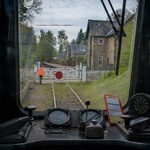
![]() by fcancalon Sun May 02, 2021 4:49 pm
by fcancalon Sun May 02, 2021 4:49 pm
Please pay a visit to the Rave's Blog:
https://user0126.blogspot.com/2020/02/gis-in-bve.html
where Rave explains how to build a route using a GIS freeware (QGIS).

Seems promising, even if -as Rave underlines- "you still have to hand-write your code in Notepad, as you always do. But you'll have great support in your route plan, and you'll have an full overview on what features you need, what are their dimensions and where to exactly put them".
https://user0126.blogspot.com/2020/02/gis-in-bve.html
where Rave explains how to build a route using a GIS freeware (QGIS).
Seems promising, even if -as Rave underlines- "you still have to hand-write your code in Notepad, as you always do. But you'll have great support in your route plan, and you'll have an full overview on what features you need, what are their dimensions and where to exactly put them".
fcancalon- Posts : 59
Join date : 2011-07-17
Re: building a BVE route using GIS
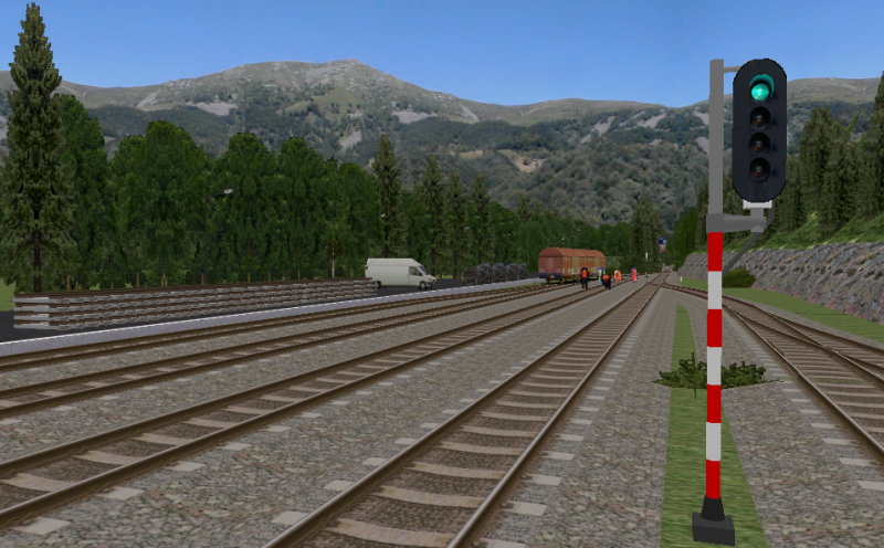
![]() by ap1991 Sun May 02, 2021 7:40 pm
by ap1991 Sun May 02, 2021 7:40 pm
I'm aware I may be about to make myself look rather silly, but what does this do?
ap1991- Posts : 298
Join date : 2014-07-25
Age : 33
Location : Warwickshire -

Re: building a BVE route using GIS
![]() by fcancalon Tue May 04, 2021 11:11 am
by fcancalon Tue May 04, 2021 11:11 am
As indicated on the blog:
"How does it help you in being BVE developer?
- You can PLAN your route all the way, without using "analog" tools like piece of paper and pen
- You can put into the project every single feature like tracks, signals, platforms, environmental objects, and then MEASURE them, or distances between them, to get real values
- You can add attributes to each feature like name, value, category etc. and then sort them, count them, or do whatever you like
- Once you create your own template you can use it in further projects"
I think that this may help drafting (not building) a new realistic route without any paper map, just following the route as it is, with its curves. I never built any route (thanks and a lot of respect for those who did it - incl. BVE-Central superb routes
  ). But as Rave built the LK311: Szklarska Poręba – Harrachov route (https://bvepoland.wordpress.com/routes/311-2/) [it was before this tool] let us consider that, as he underlines, the potential use of QGIS (together with Google Map) MAY BE helpful...
"How does it help you in being BVE developer?
- You can PLAN your route all the way, without using "analog" tools like piece of paper and pen
- You can put into the project every single feature like tracks, signals, platforms, environmental objects, and then MEASURE them, or distances between them, to get real values
- You can add attributes to each feature like name, value, category etc. and then sort them, count them, or do whatever you like
- Once you create your own template you can use it in further projects"
I think that this may help drafting (not building) a new realistic route without any paper map, just following the route as it is, with its curves. I never built any route (thanks and a lot of respect for those who did it
). But as Rave built the LK311: Szklarska Poręba – Harrachov route (https://bvepoland.wordpress.com/routes/311-2/) [it was before this tool] let us consider that, as he underlines, the potential use of QGIS (together with Google Map) MAY BE helpful...
fcancalon- Posts : 59
Join date : 2011-07-17
» Who says route building isn't sexy!!
» A little bit of help needed...(route building!)
» Tips for building my first route
» Best route building / train creation tutorials?
» Building a Route Based on the Staten Island Railway Integrated into the NYC Subway System (Download Update 10/24/2023)
» A little bit of help needed...(route building!)
» Tips for building my first route
» Best route building / train creation tutorials?
» Building a Route Based on the Staten Island Railway Integrated into the NYC Subway System (Download Update 10/24/2023)
Page 1 of 1
Permissions in this forum:
You cannot reply to topics in this forum